 My preferred
definition of a mountain pass is a low point that can be used to cross a
mountain range between two drainages. Many of them are high notches between
peaks or ridges that can be seen from miles away. Others are less well defined
and one may cross them without really knowing exactly where the pass is (unless
you carry a GPS unit or an altimeter).
My preferred
definition of a mountain pass is a low point that can be used to cross a
mountain range between two drainages. Many of them are high notches between
peaks or ridges that can be seen from miles away. Others are less well defined
and one may cross them without really knowing exactly where the pass is (unless
you carry a GPS unit or an altimeter). If you want
to hike across the Rocky Mountains, you must use a series of passes in order to
do so. There are 10 passes that can be used to complete the “Walls of Stone” traverse of the
Central Canadian Rockies. What follows is a list of them, with a brief
description of each one.
If you want
to hike across the Rocky Mountains, you must use a series of passes in order to
do so. There are 10 passes that can be used to complete the “Walls of Stone” traverse of the
Central Canadian Rockies. What follows is a list of them, with a brief
description of each one. 1. Tombstone
Pass - 2231 m, Alternate route; "Piper"
Pass - 2553m
1. Tombstone
Pass - 2231 m, Alternate route; "Piper"
Pass - 2553m
This pass
itself isn’t very interesting, but if you divert to Tombstone Lakes they are
very scenic. We had originally planned on the more ambitious crossing of higher
“Piper “Pass (between the West Arm of the Little Elbow, and lovely Piper Creek)
but bad weather and low clouds forced us to take the lower option.
2. Elbow
Pass - 2100 m
More hikers
cross this pass than any other in Kananaskis Country. The pass itself isn’t a
destination, but it provides access from (or in our case, egress to) Highway
40. Some excellent subalpine and alpine country lies to the east of the pass.
Most folks use it to visit pretty Elbow Lake.
3. North
Kananaskis Pass - 2368 m
This notch
between Mounts Beatty and Maude sits astride the Continental Divide and was my
personal favorite of the entire expedition. A hoary marmot greeted me at the
alpine meadows, next to Maude Lake. It provides passage between the Kananaskis
River drainage on the Alberta side to the Palliser River in B.C. and is
certainly a destination in its own right.

4. Palliser
Pass - 2105 m
The area
around the pass is interesting enough, with four lakes in the immediate
vicinity. It sits on the Great Divide between the Upper Palliser River and the open
valley of the Spray River in southern Banff National Park. It is close by to
the more often visited Burstall Pass.
 5. Wonder
Pass - 2381 m, Alternate route;
Assiniboine Pass -2193 m
5. Wonder
Pass - 2381 m, Alternate route;
Assiniboine Pass -2193 m
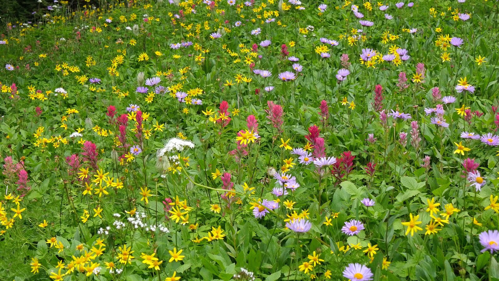
Another
highlight of the trip, this high pass is often visited as a destination in
itself. It can be used to provide access across the Great Divide to Mount Assiniboine
Provincial Park. Alpine flowers are in abundance near the summit and there are
amazing views in every direction.
6. Ferro
Pass - 2289 m
 We had seen
this as a necessary, but uninspiring route into the Simpson River drainage and
Kootenay National Park, but we couldn’t have been more wrong about this less
visited, but scenic pass. It was one of the surprises of our journey across the
Rockies. The views from the interesting narrow pass were well worth the ascent.
In late July beautiful subalpine flower meadows were in full bloom just to the
north of the pass itself.
We had seen
this as a necessary, but uninspiring route into the Simpson River drainage and
Kootenay National Park, but we couldn’t have been more wrong about this less
visited, but scenic pass. It was one of the surprises of our journey across the
Rockies. The views from the interesting narrow pass were well worth the ascent.
In late July beautiful subalpine flower meadows were in full bloom just to the
north of the pass itself.
7. Numa Pass - 2355 m
This is the
pass that should have been the highlight of our journey, but terrible weather
caused us to cut short our visit to these expansive alpine meadows. If the
weather is good, I am sure a visit would be well worth the serious effort
required to get to this spot along the Rockwall Trail. For us it was a day of
drudgery.
8. Tumbling
Pass - 2210 m
A tramp up a
long avalanche slope leads to some high meadows surrounded by rocky scree and
talus slopes, with views of the Rockwall. Waterfalls, glaciers, moraines and a
glacial lake make all the effort involved well worthwhile.
 9. Wolverine
Pass - 2210 m
9. Wolverine
Pass - 2210 m
For us, this
spectacular gateway through The Rockwall, was utilized to exit the Rockwall Trail
and make our way down into the Beaverfoot Valley. The alpine area around this
pass and leading to nearby Rockwall Pass looked amazing and would certainly
bear more future exploration.
10.
Harrogate Pass -2127 m
This
virtually unused historic pass is one of the few ways that the Western (Beaverfoot)
Range of the Canadian Rocky Mountains can be traversed. For our expedition, this
is the infamous and uncrossed “Tenth Pass”. It was a question mark throughout
our entire backpack trip and it still remains an enigma due to time constraints
and lack of an obvious route. It appears to be unlike the other wind-swept,
open passes. It looks to be clogged with trees and it is surrounded by cut-blocks
and impenetrable British Columbia bush. I am determined however to revisit this
location and attempt a crossing, in order to prove that my “Walls of Stone”
route across the Canadian Rocky Mountains is viable. Stay tuned!
As usual, I wish I could complete even part of the traverse you and Don did. I'm following your accounts with great interest.
ReplyDeleteI've crossed only one of these passes and it was a
ReplyDeleteWonder.